The re-telling of Roots on the History Channel this summer reminds us to read more of Alex Haley’s Pulitzer Prize winning book from 1976 and beckons us to visualize West Africa’s place in history. The Afriterra Foundation had invited Alex Haley to glimpse the beginning of our mission in early 1992; but he did not live to see that display, nor could he have foreseen the Internet which now allows any person on Earth to access images and write commentaries of their own view, shared anywhere in all forms of media, faster and broader than all his published works.
We can now invite every one of you to the geography table, visualizing Africa as a space more than a name, and to realize the place, and thus truly know the name.
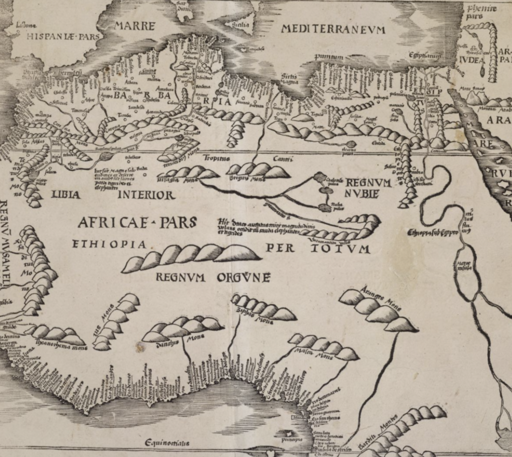
Our current online exhibit allows multiple pan and zoom views involving 30 of the rarest maps from 1500-1900 depicting the original Gambia River in the early Mandinka land over a period of 400 years.
Click each map and explore as you steer through the land and the waterways. Tell us your stories and interpretations, both personal and professional. Immerse yourself in this experience. Delve into various place-names, as we first point your attention to the toponyms denoting a particular village called: Juffure, Juffureh, Jillifrey, Gulfere, Gelefre, Gilfrore, Gillifrey, Gilfrei, Gilfree, Gulferee, Gillefrees, or Ijelefre located on the northern shore of the Gambia River just upstream from the Atlantic. Here we sit along with Alex Haley gathering relationships to understand the roots that link then with now.

Niger Was Always There
The recent attention given to American activities in the North African country of Niger has prompted us to highlight the land, the people, and the


