November 2017 brings another chapter in the long legacy of Zimbabwe. Suddenly the military took control of the nation but said President Robert Mugabe, in power since 1980, was safe.
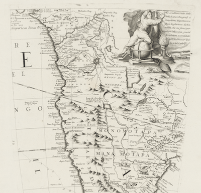
From the myths of Prester-John to the realization of The Great Zimbabwe civilization, the land has endured a colonial claim, a false name, and a corrupted independent reign.
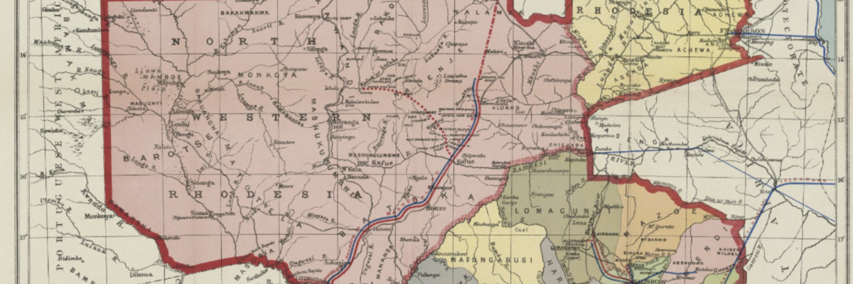
To understand and visualize this history, The Afriterra Cartographic Library presents 12 rare maps that trace the pathways here over 500 years. Please examine and share this exhibit as we expand further discussions on the history of Africa for Geography Awareness Week.

What can old maps from Afriterra teach us today?
About ten days ago, I was in Europe, and news from all over Africa were coming to me. Africa is a continent in rapid transition


